
Would you like to take part?
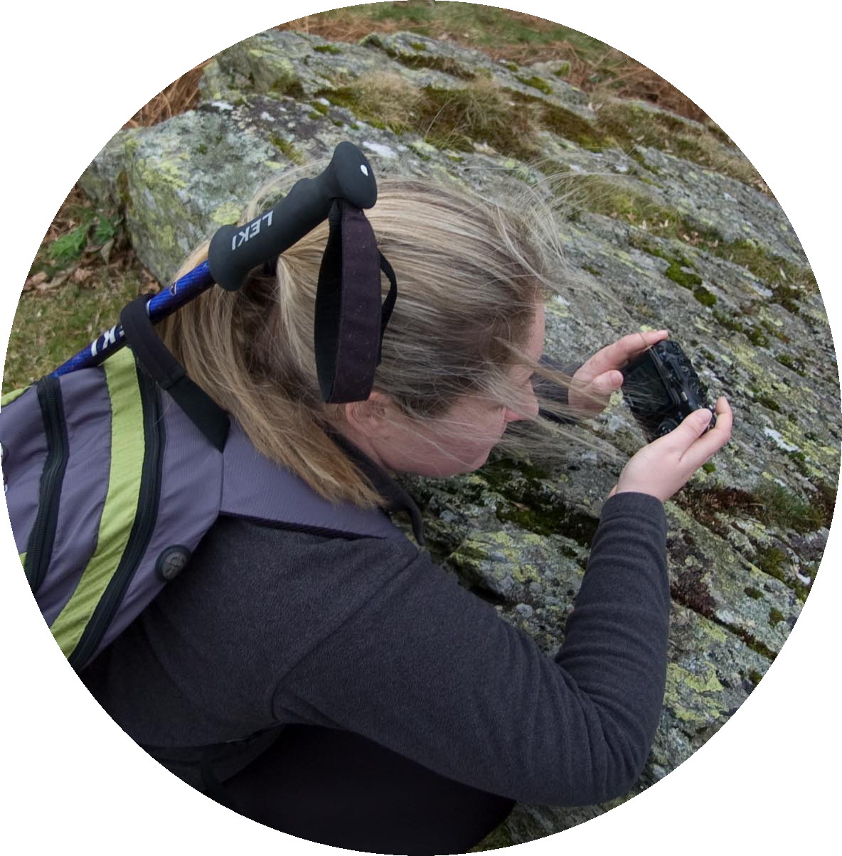
Project Baseline volunteers collate observations and log entries from each cave and a variety of significant spots or 'Stations'. Volunteer observers should aim to take at least one photograph of one of these sites from a specific point as a minimum of data.
Ideally. at each station, volunteers should obtain:
Click on the links to take you to the pages with more details for each observation station and how to collect the data.
Project Baseline volunteers collate observations and log entries from each cave and a variety of significant spots or 'Stations'. Volunteer observers should aim to take at least one photograph of one of these sites from a specific point as a minimum of data.
Ideally. at each station, volunteers should obtain:
- Photograph from a set position;
- Log of the water temperature at that station (and note the instrument used)
- For Diving section only (Tradesman's entrance and Little Neath River Cave Sump 1) a measure of visibility using a secci disc and a tape measure. A hand held torch of 10W should be used and any helmet mounted lights switched off.
Click on the links to take you to the pages with more details for each observation station and how to collect the data.
This powerful tool gives the public a starting point -- a "baseline" -- for each site, and presents clear evidence of gradual environmental change, if this has taken place, over time. This continuous documentation gives Project Baseline compelling information that can be shared with resource managers, regulators, scientists and the public. Our hope is that this will motivate people to work toward positive change in their communities by raising awareness of the state of water on a local scale.